EDALE SKYLINE - JULY 25
In an earlier visit to the Peak District, I bumped into a group of local hikers in really bad weather who were doing the ‘Edale Skyline’. Soaking wet, I had a long chat with them about their walk, and so the seeds were sown. About a year later, 9 of us headed up to Edale for the weekend with the aim of completing the walk over 2 days, starting and finishing at the campsite each day. The only and most important person who was missing was Nick, as our cat, Banksy, was still ill and she stayed at home to look after him.
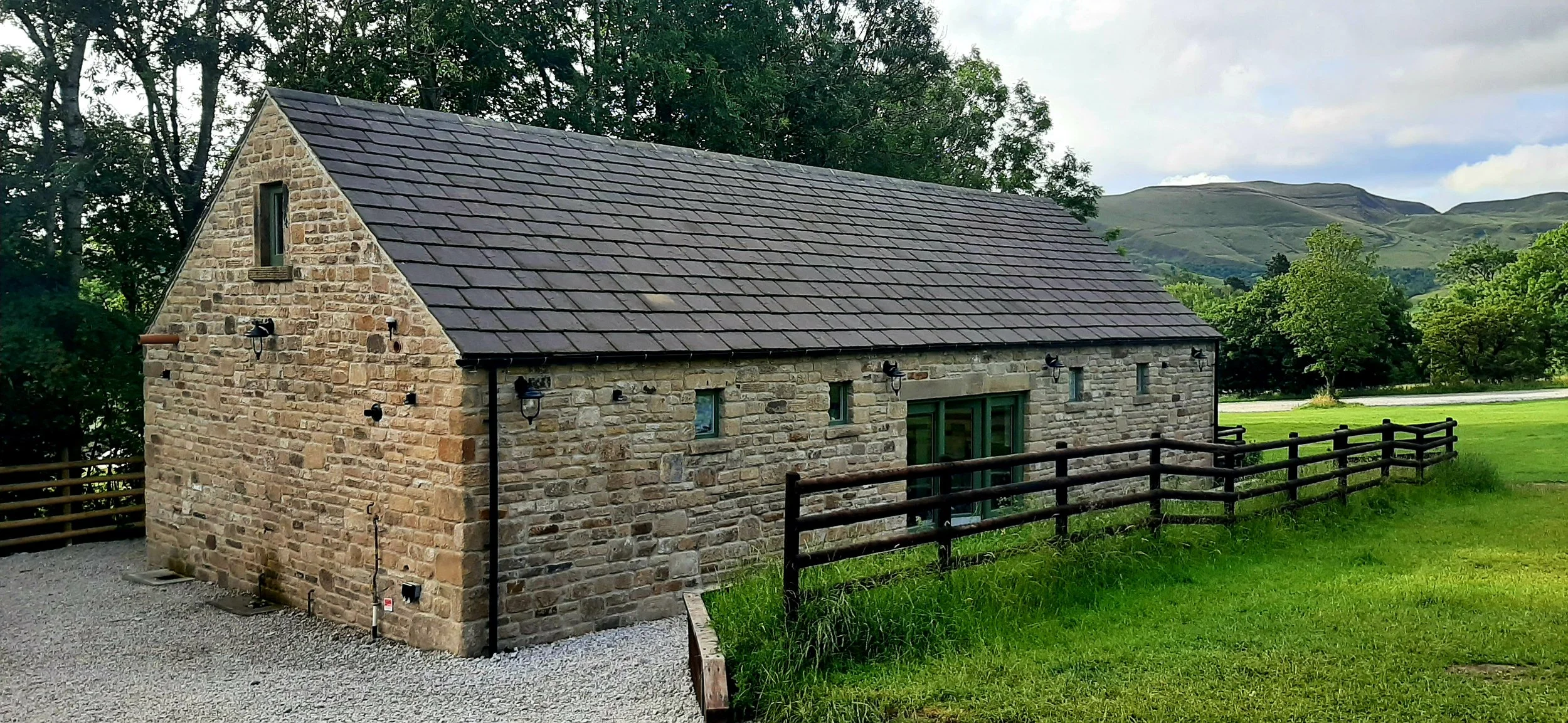
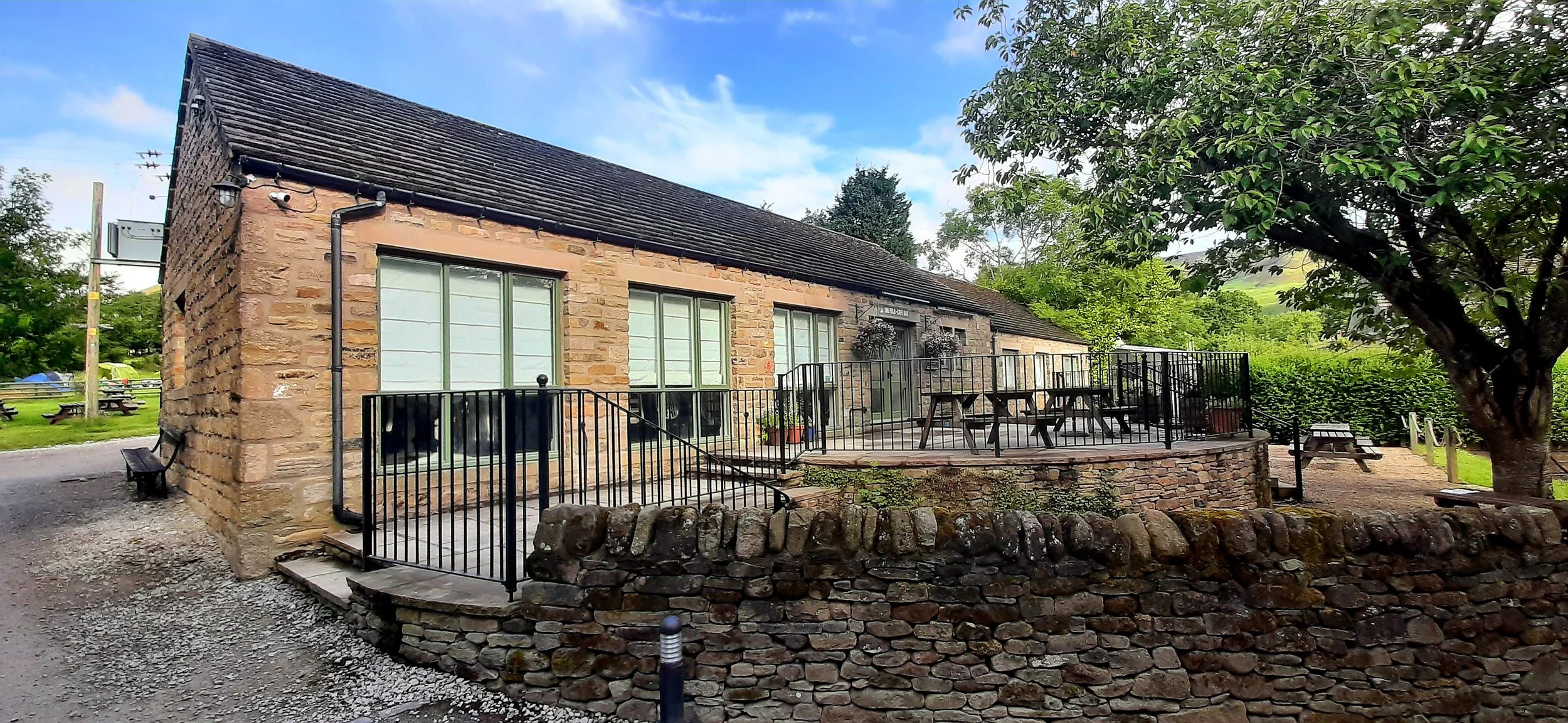
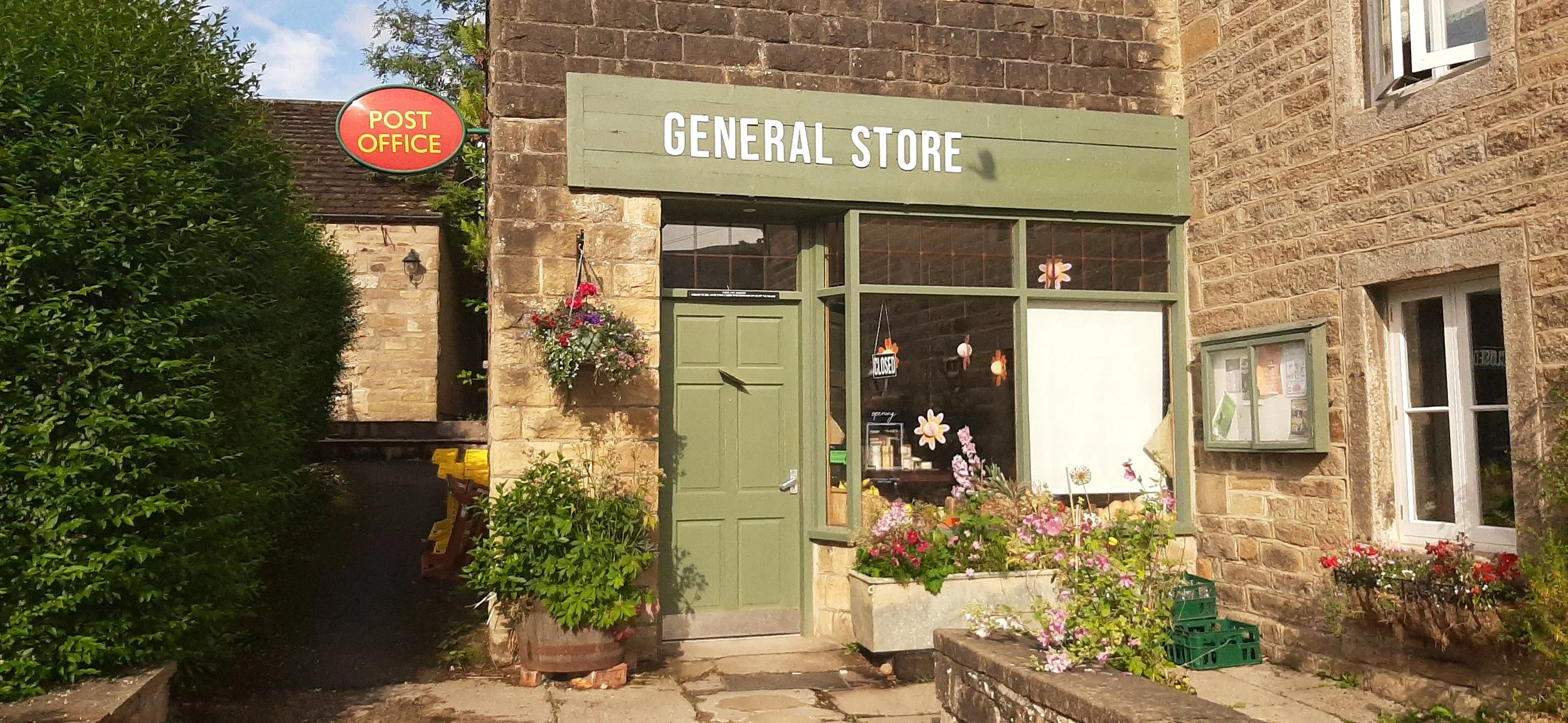
The campsite is beautiful. It’s even better than the photos on their website. The café is tremendous, the general store sells lots of camping essentials, including amazing fresh bread and the nearby pub (very close) is a traditional, old-school hostelry which oozes charm and has room after room after room. The local beer is excellent and the food is really nice.
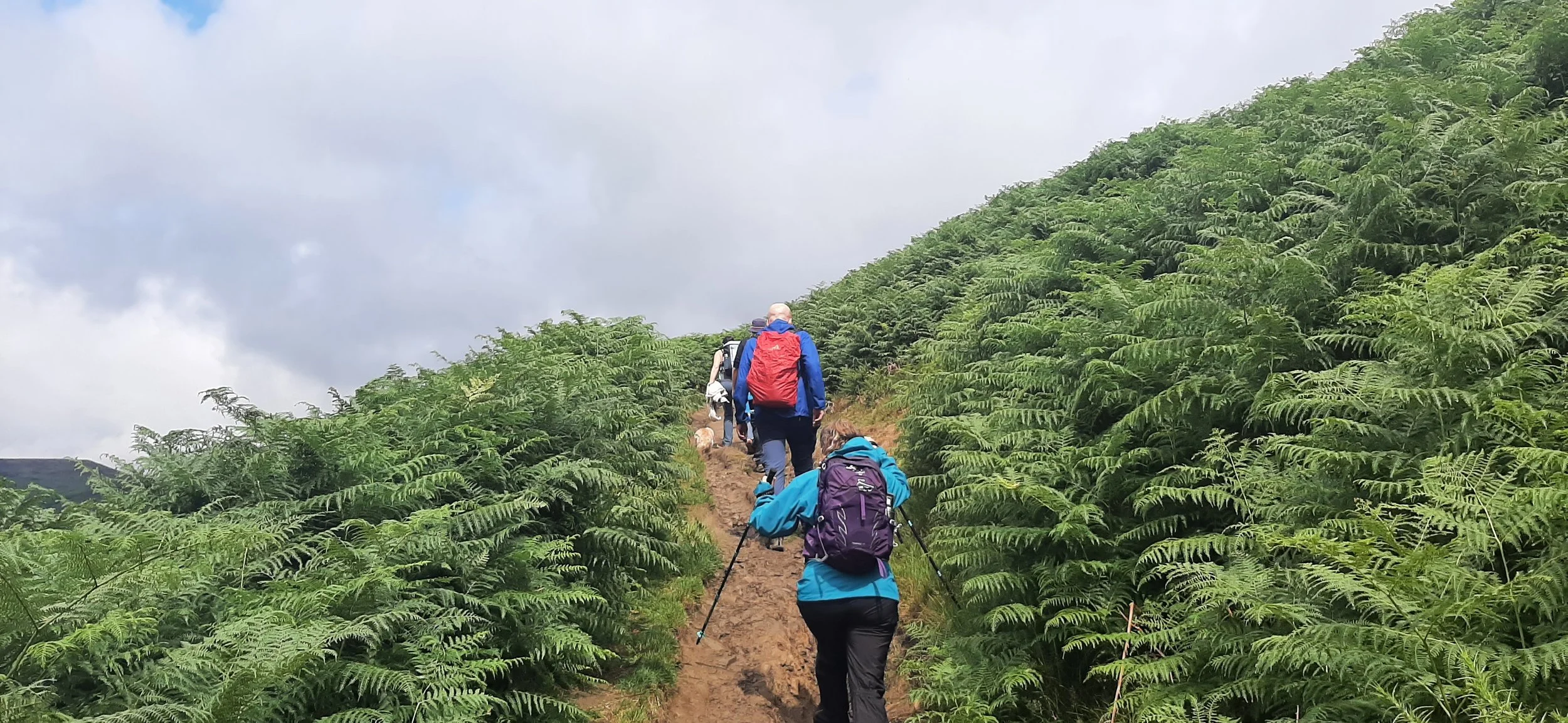
Day 1 starts with breakfast and a 9am start. Astonishingly, given the time keeping record of several of those present, we left more or less on time. The Pennine Way starts right next to the campsite, but we soon veer off on the footpath towards Grindsbrook Knowl. The steepness of the climb is quite a shock. Most of us are former trail runners in varying states of disrepair, me being one of them. I don’t mind admitting that it was a struggle.
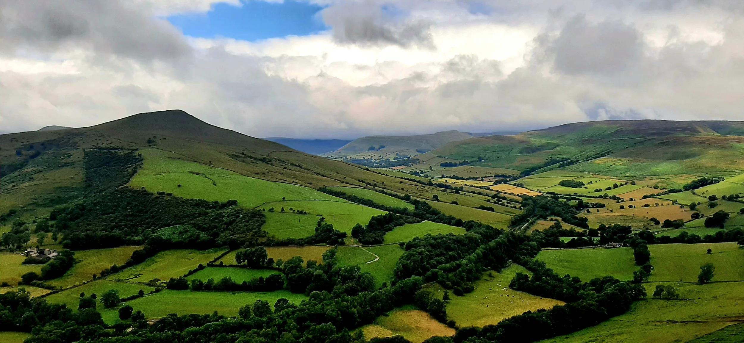
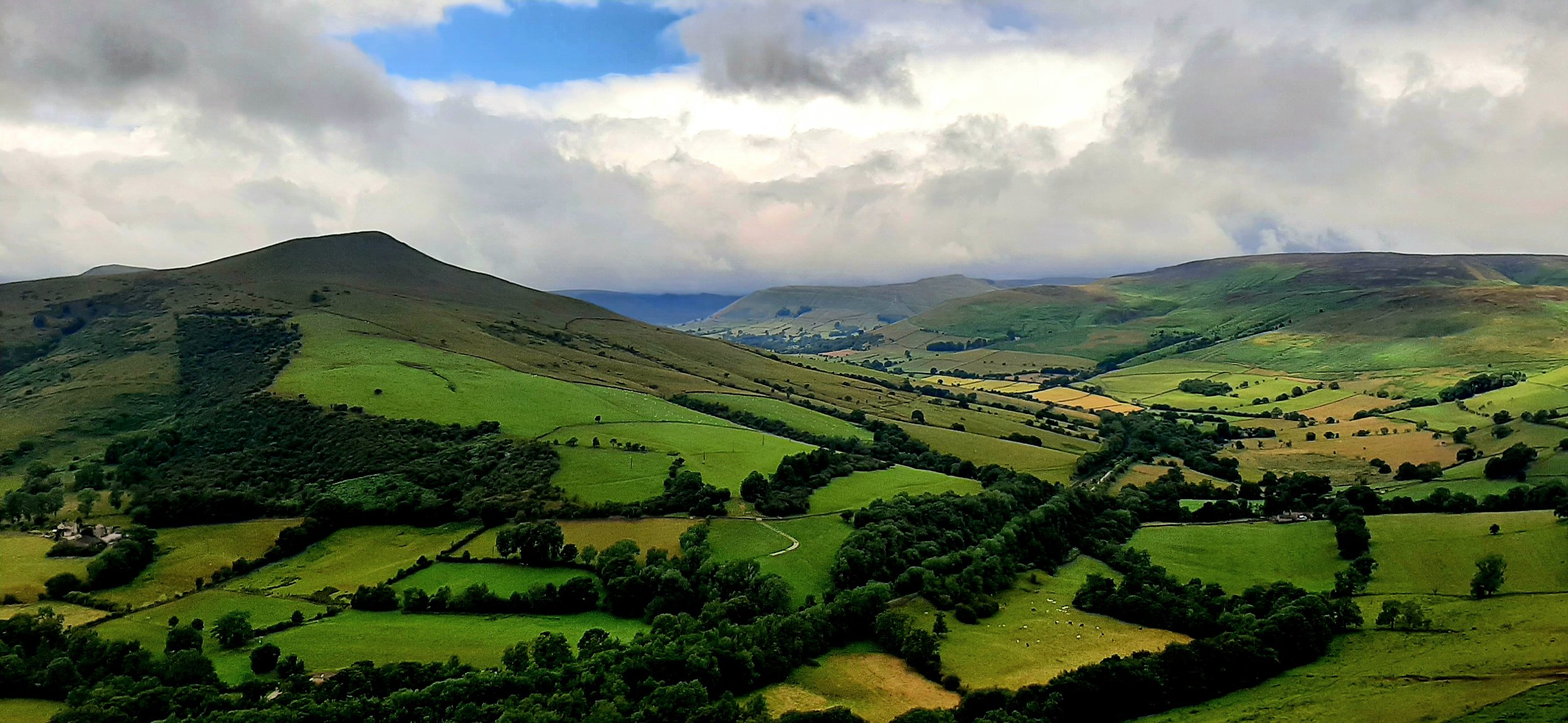
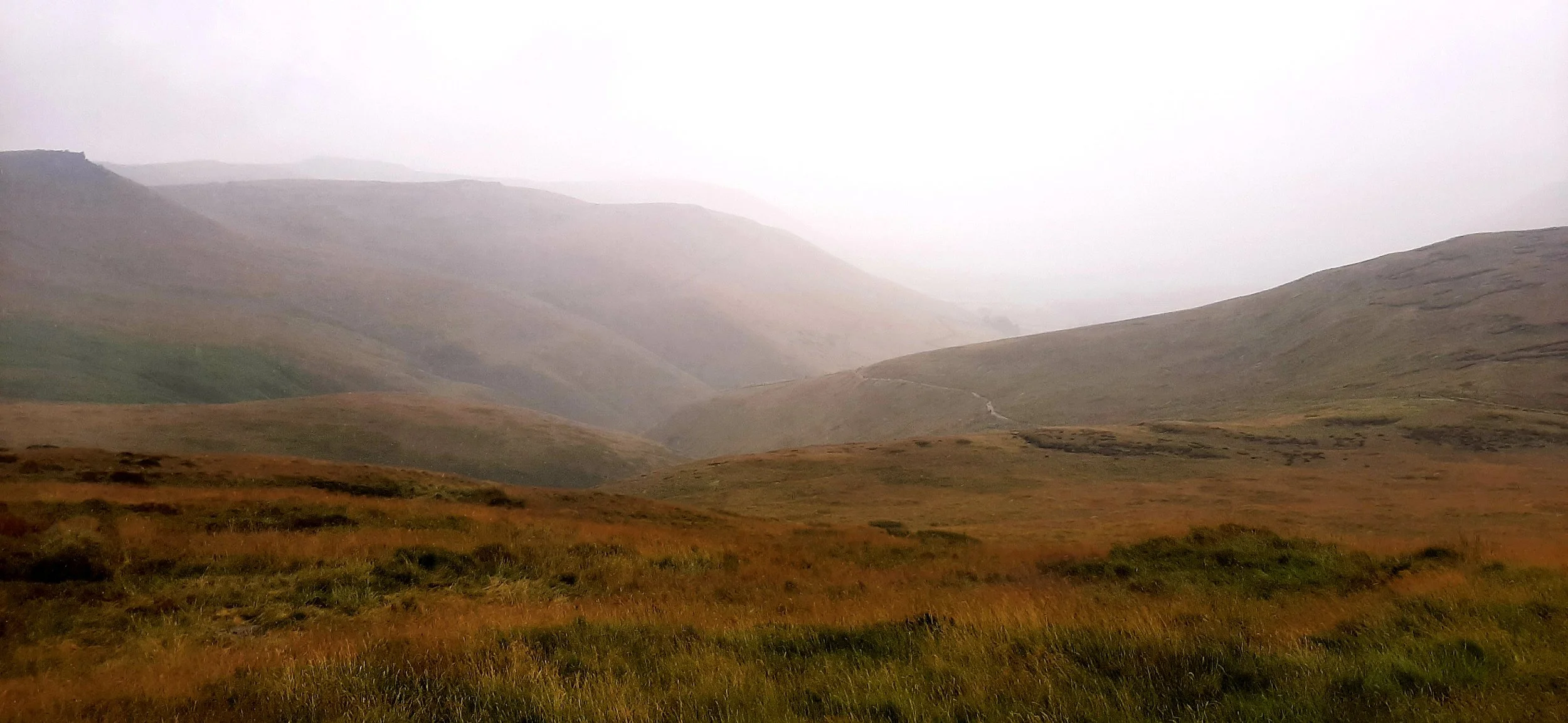
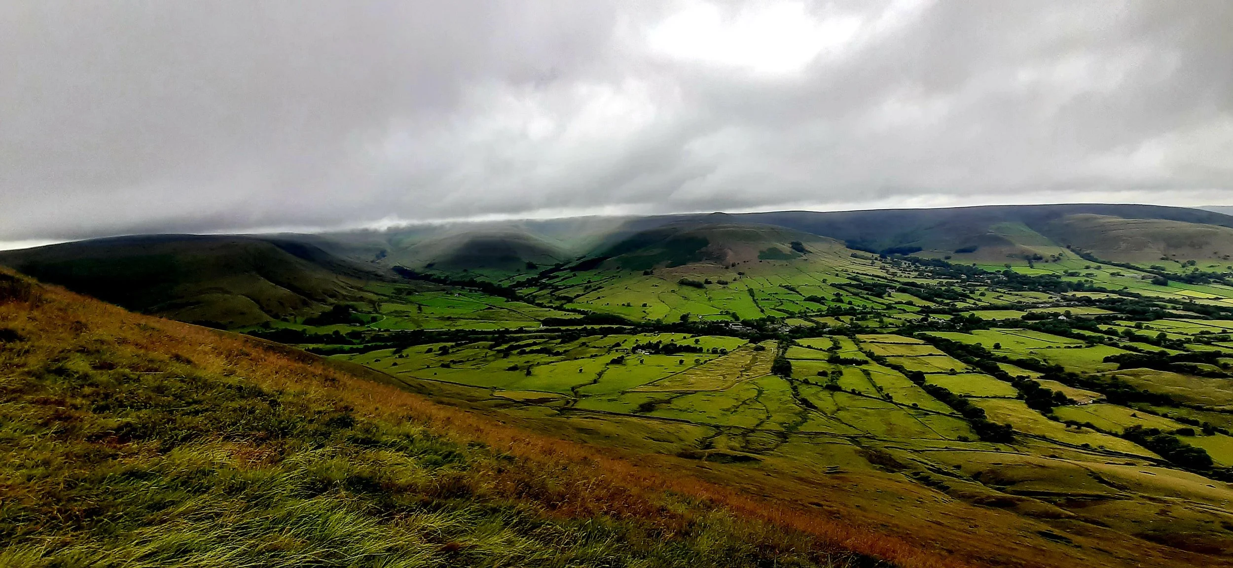
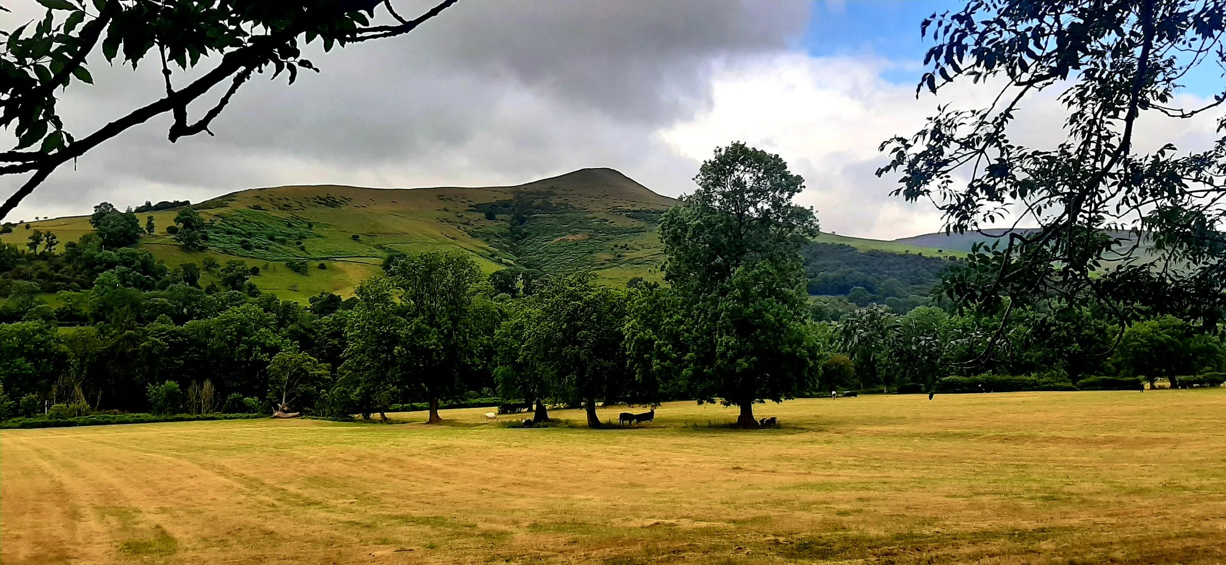
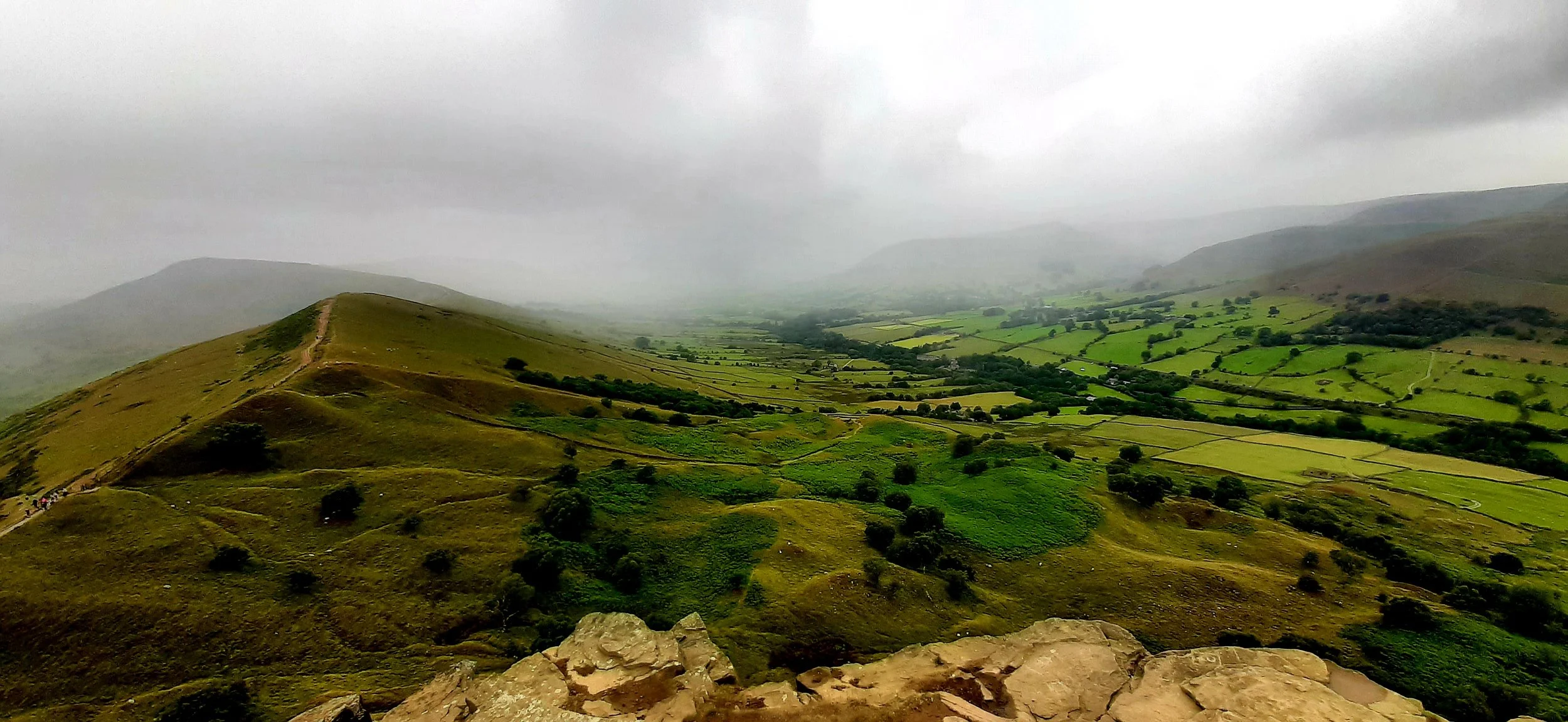
When you going gets tough on a climb, the best course of action is to turn around and enjoy the view. And this is what we saw.
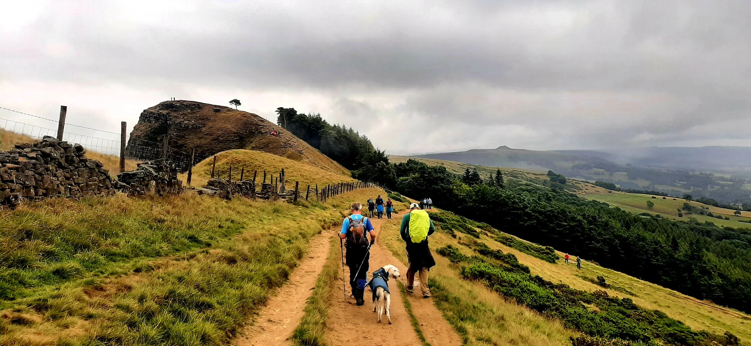
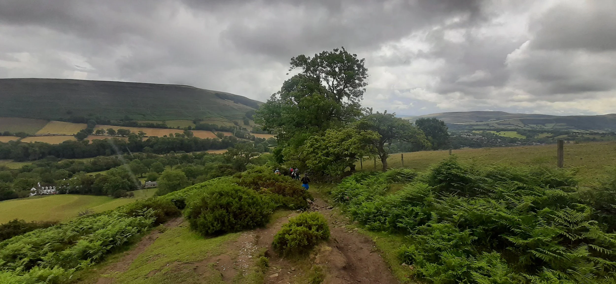
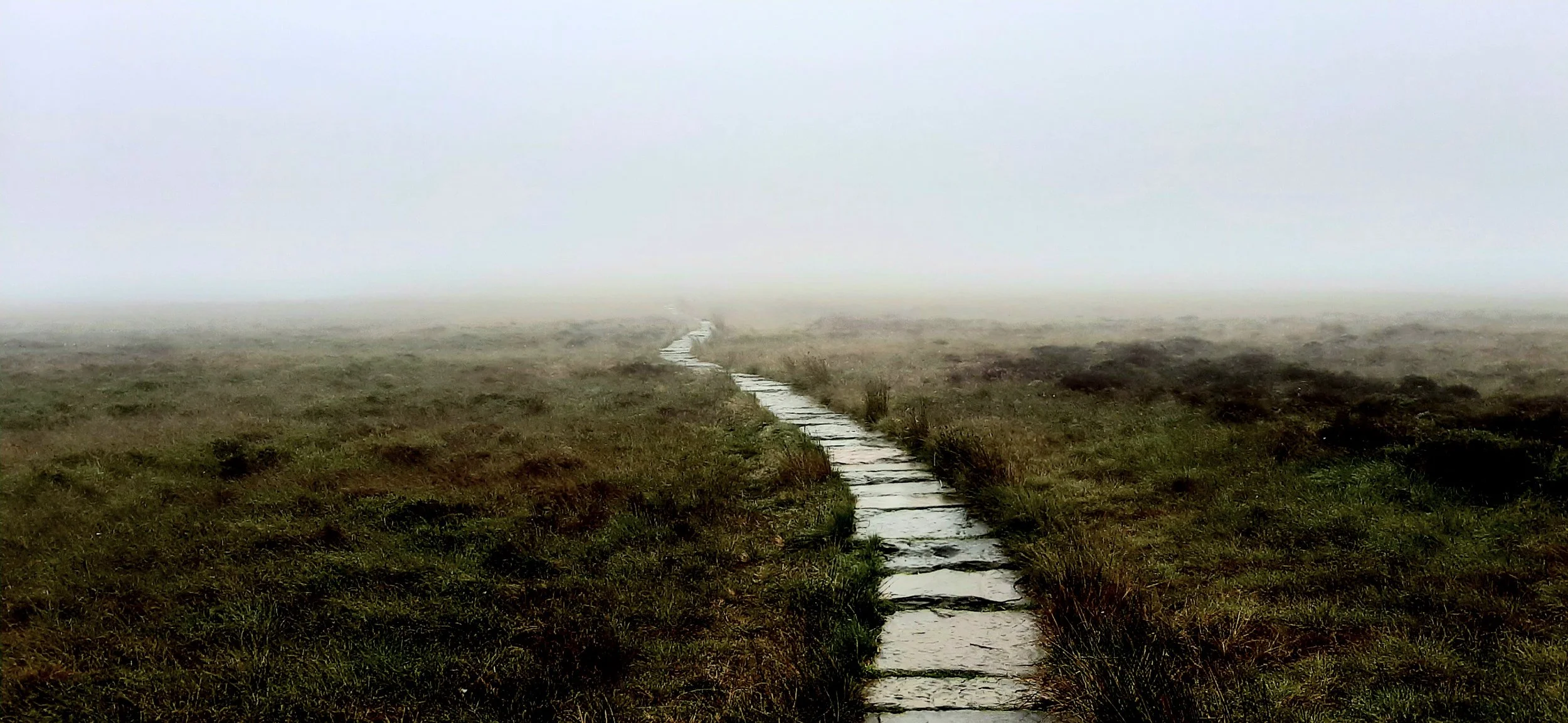
The last section of the climb is a bit of a scramble until you reach XXXXX and everything levels out somewhat.
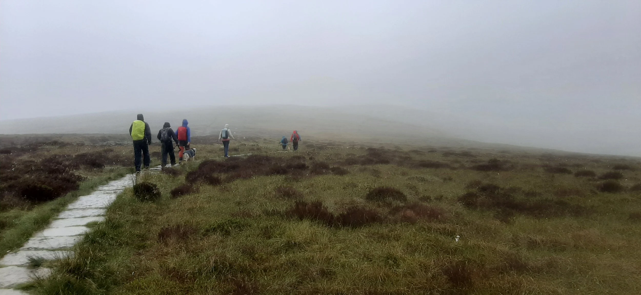
The weather is capable of changing very quickly and that’s what we saw. The angry looking clouds appeared on the horizon and 20 minutes later we were soaking. This was not the time to get lost, but I managed to miss a turn on a downhill section, which meant all of us climbing back up to the correct path. Just because a path is overgrown, small and slightly hidden, it doesn’t mean that it’s not the right path. Don’t think I was that popular for a while.
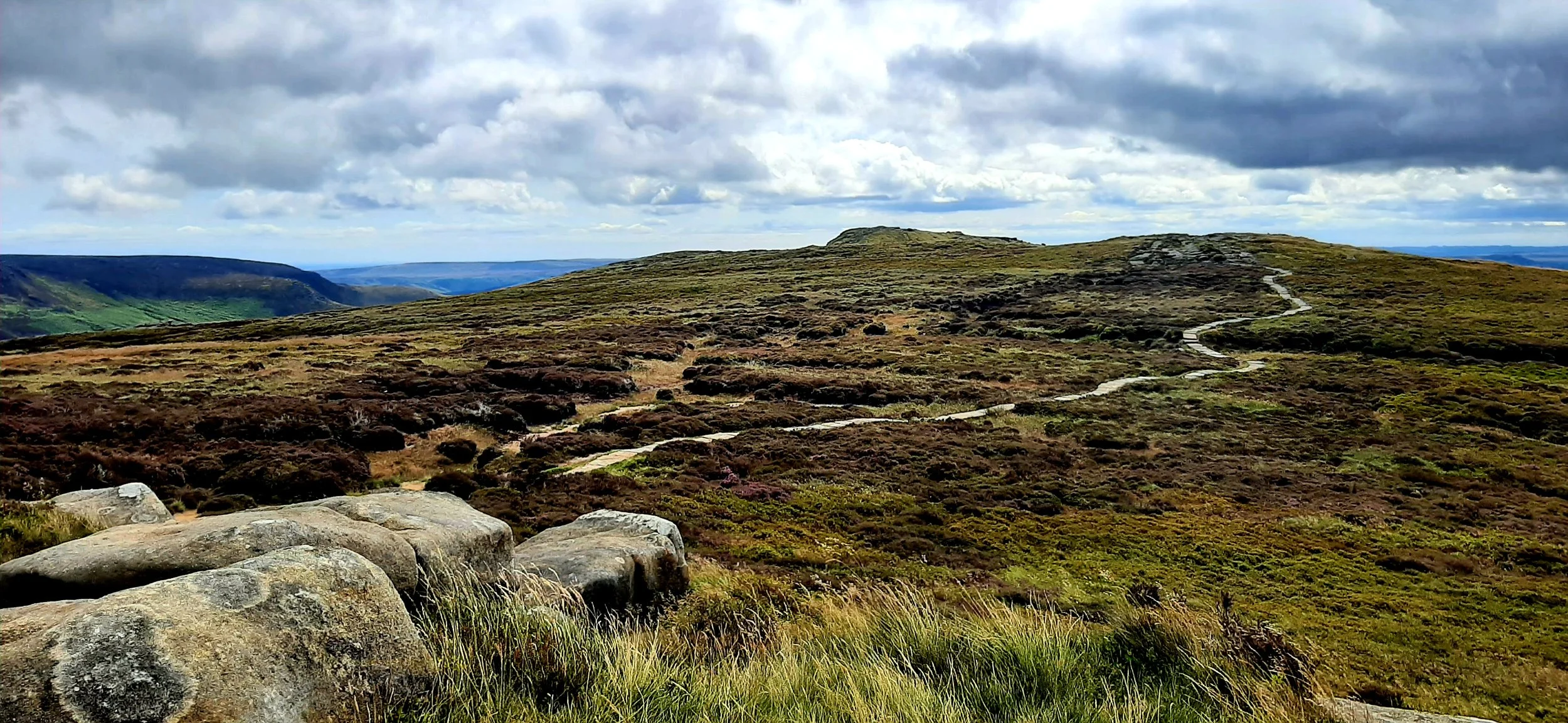
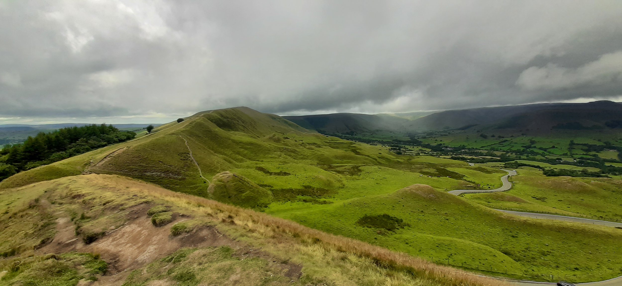
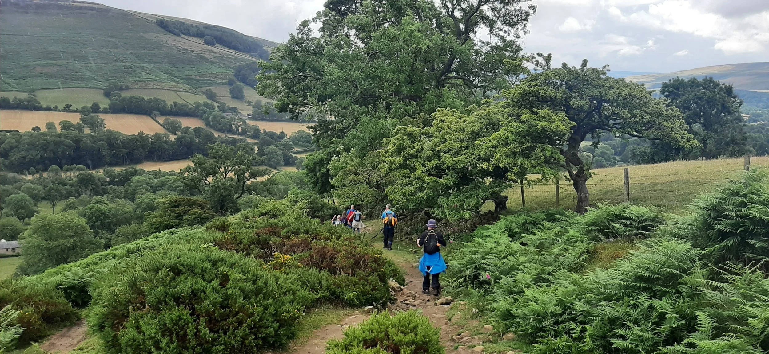
About an hour later there was a hint of blue sky and suddenly everything was happy again. With food inside us, we headed up to Mam Tor, which wasn’t too crowded and on for another mile or so before we left the Skyline route back to the campsite.
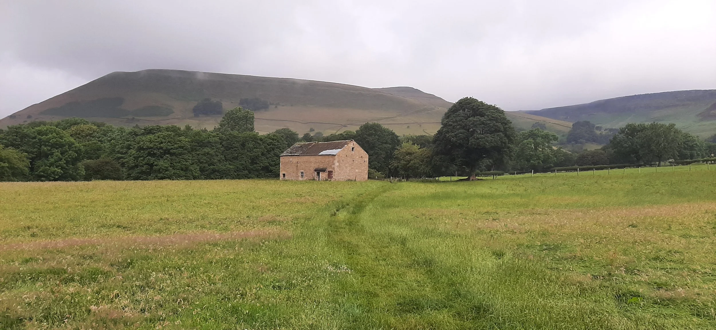
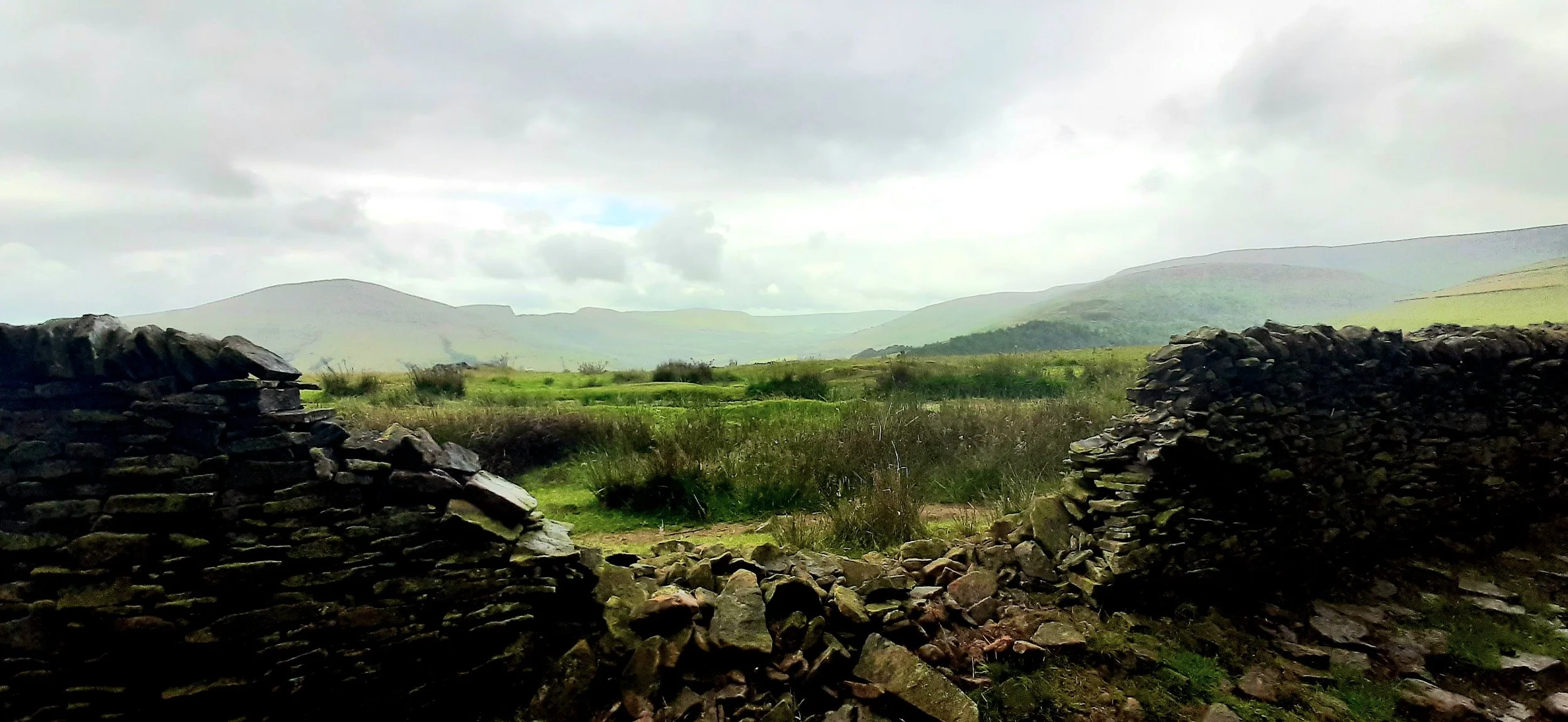
As we left the campsite on day 2 we passed a derelict farm building in the middle of a field. Chat soon turned to buying it, filling the shell with shipping containers, being self-sufficient on the surrounding land and deciding on the tasks each of us would undertake on our newly created commune. Steve them decided he would be able to play his dub music really loud, as we would be in the middle of nowhere. This made us decide that it was probably not such a good idea after all.
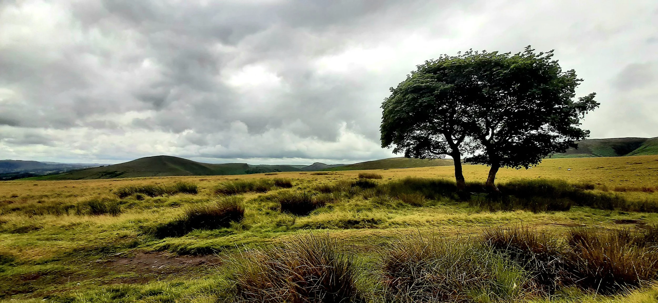
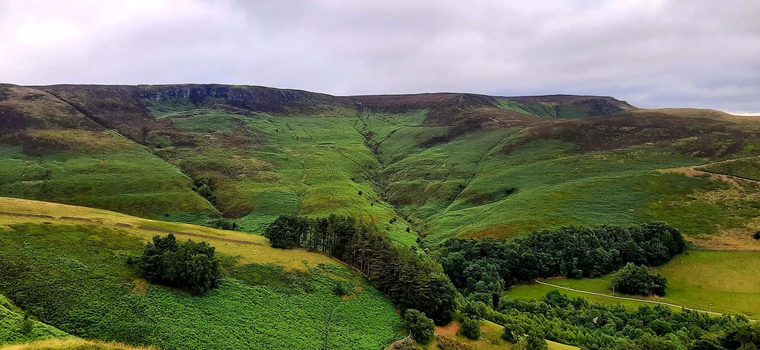
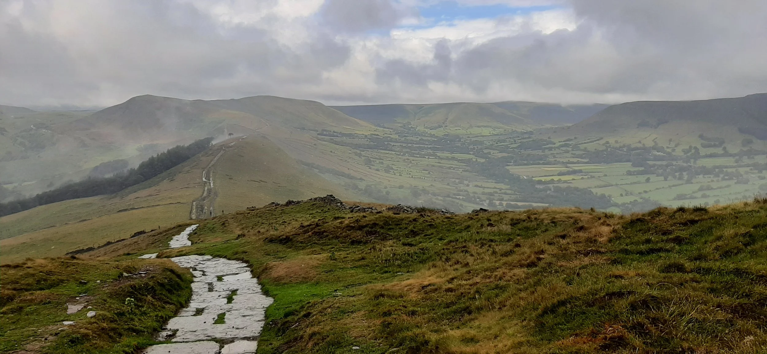
We re-traced out steps from the descent to camp the day before re-joining the Skyline route at the point we left the previous day, just to the west of Barker Bank. We soon came across one of the best parts of the walk for me, as we headed past Back Tor and over Lose Hill. I have always loved seeing lone trees in the countryside and with the recent sad news of this Sycamore Gap tree, it was lovely to come across a tree separated from the rest on top of a lovely rocky outcrop. 3 of us took on the climb, while everyone else took the flatter route around the hill. The climb was steep but well worth it for the achievement and the views were brilliant.

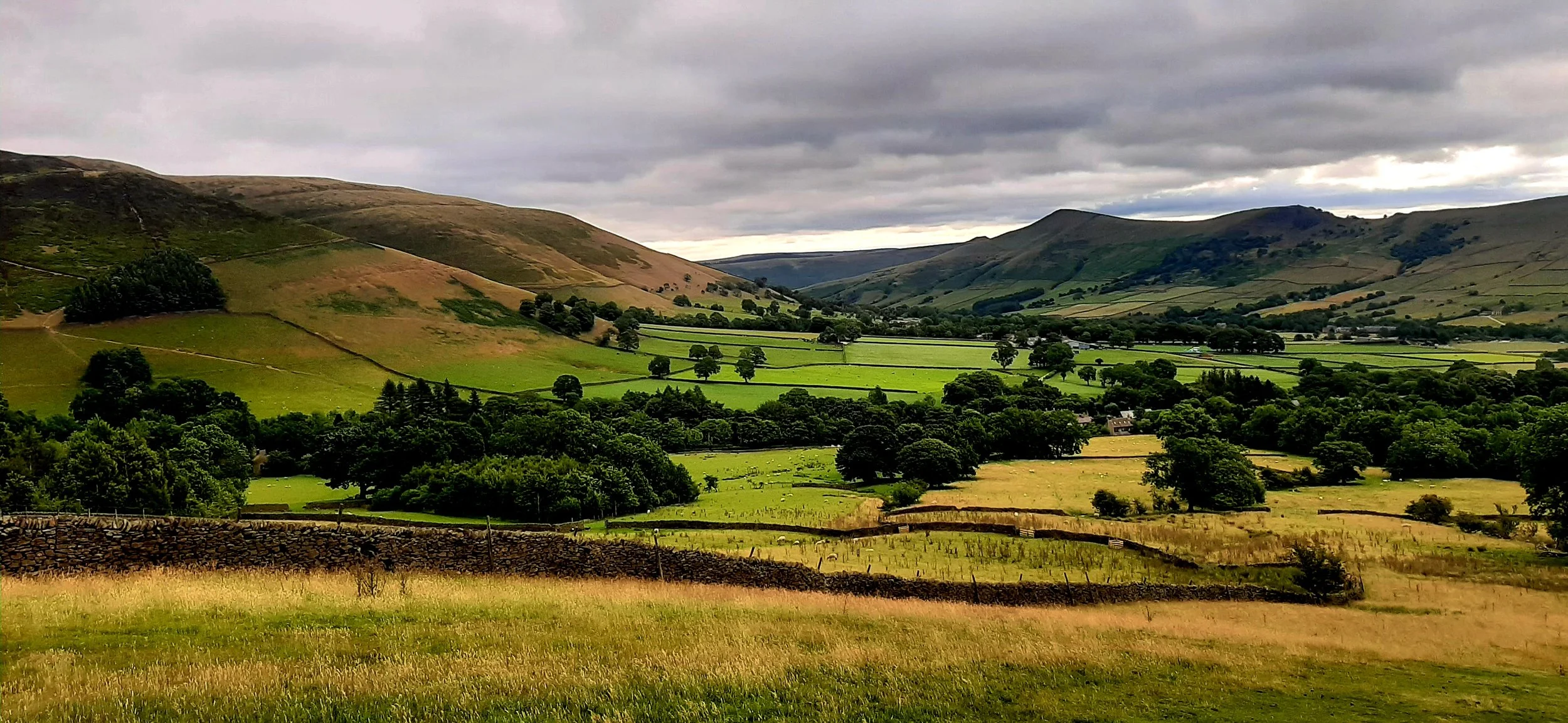
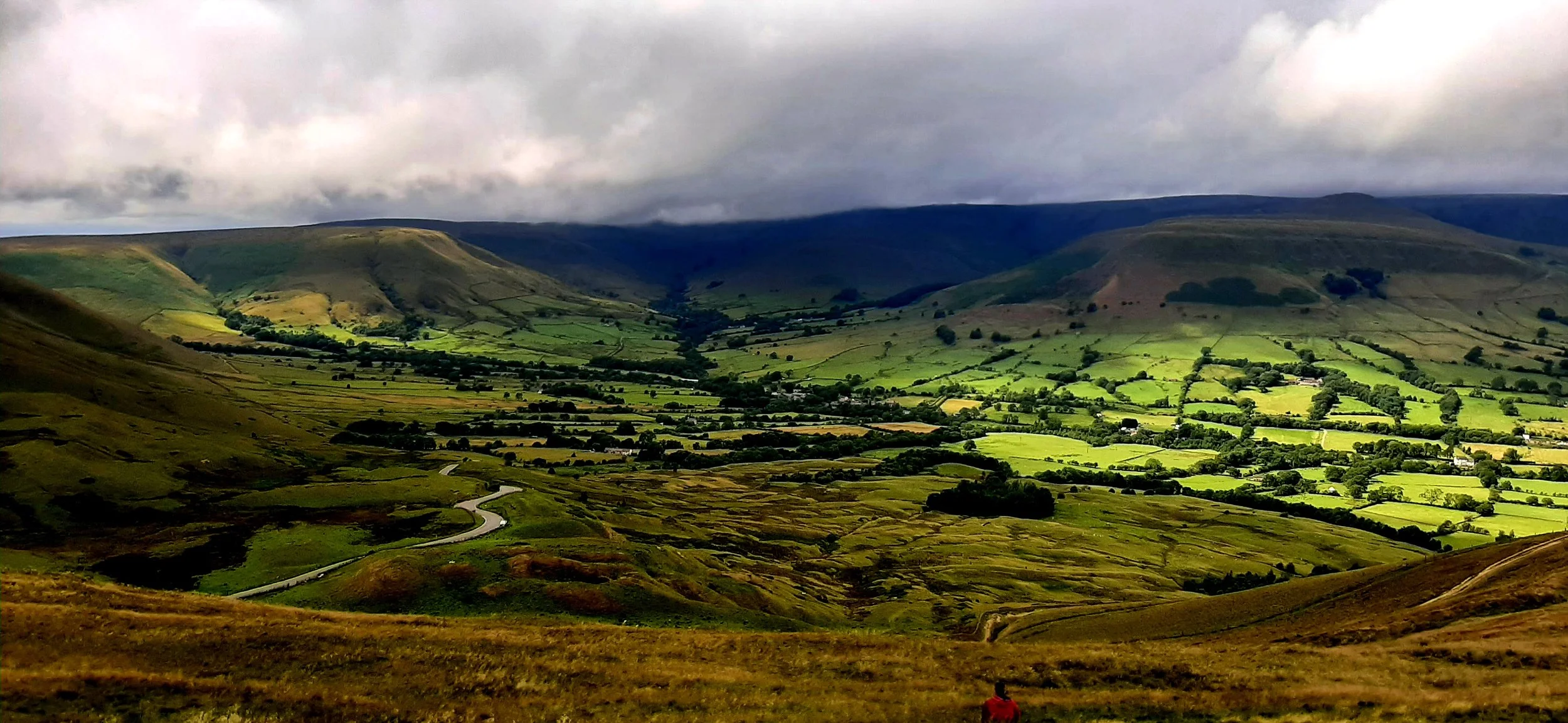
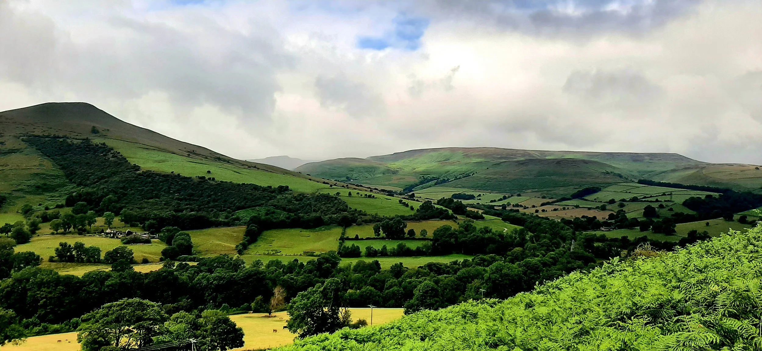
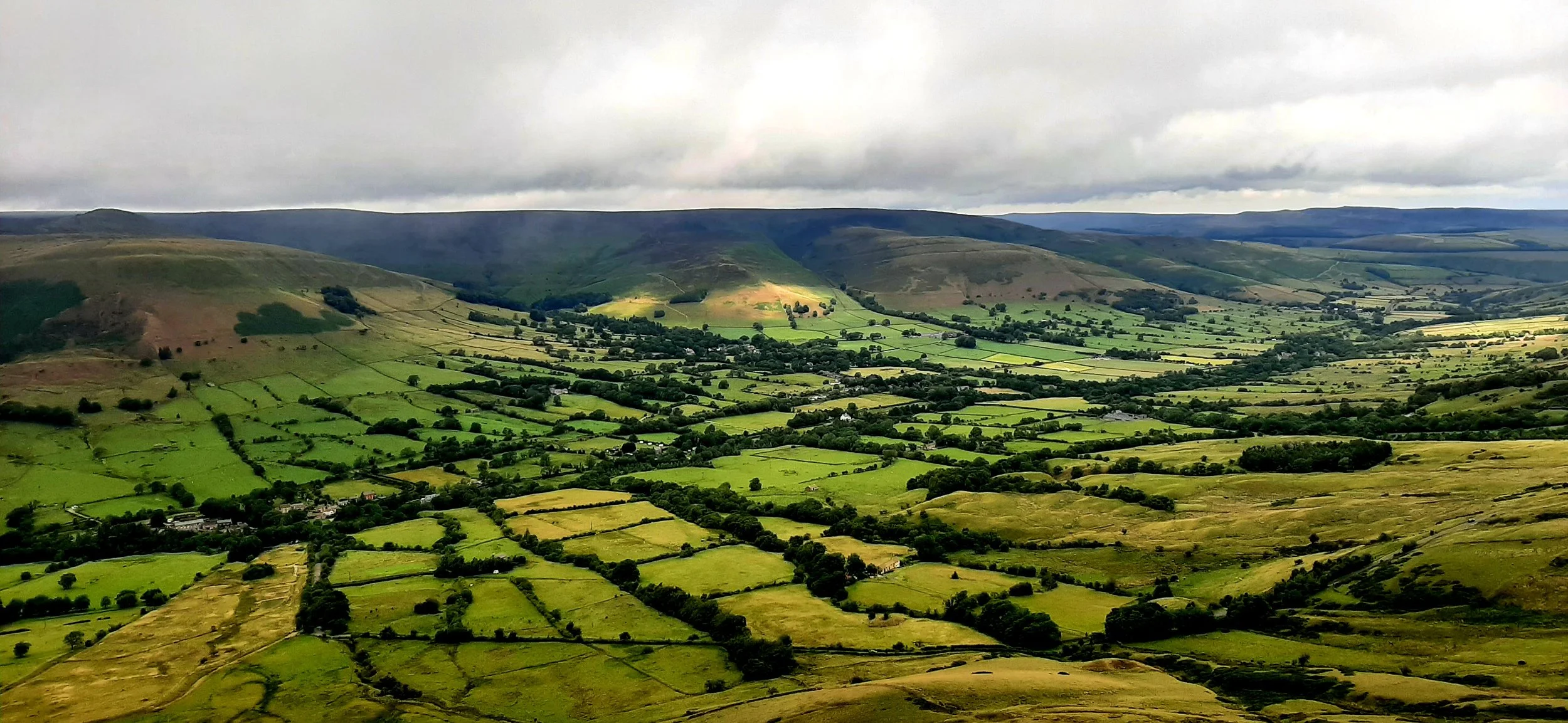
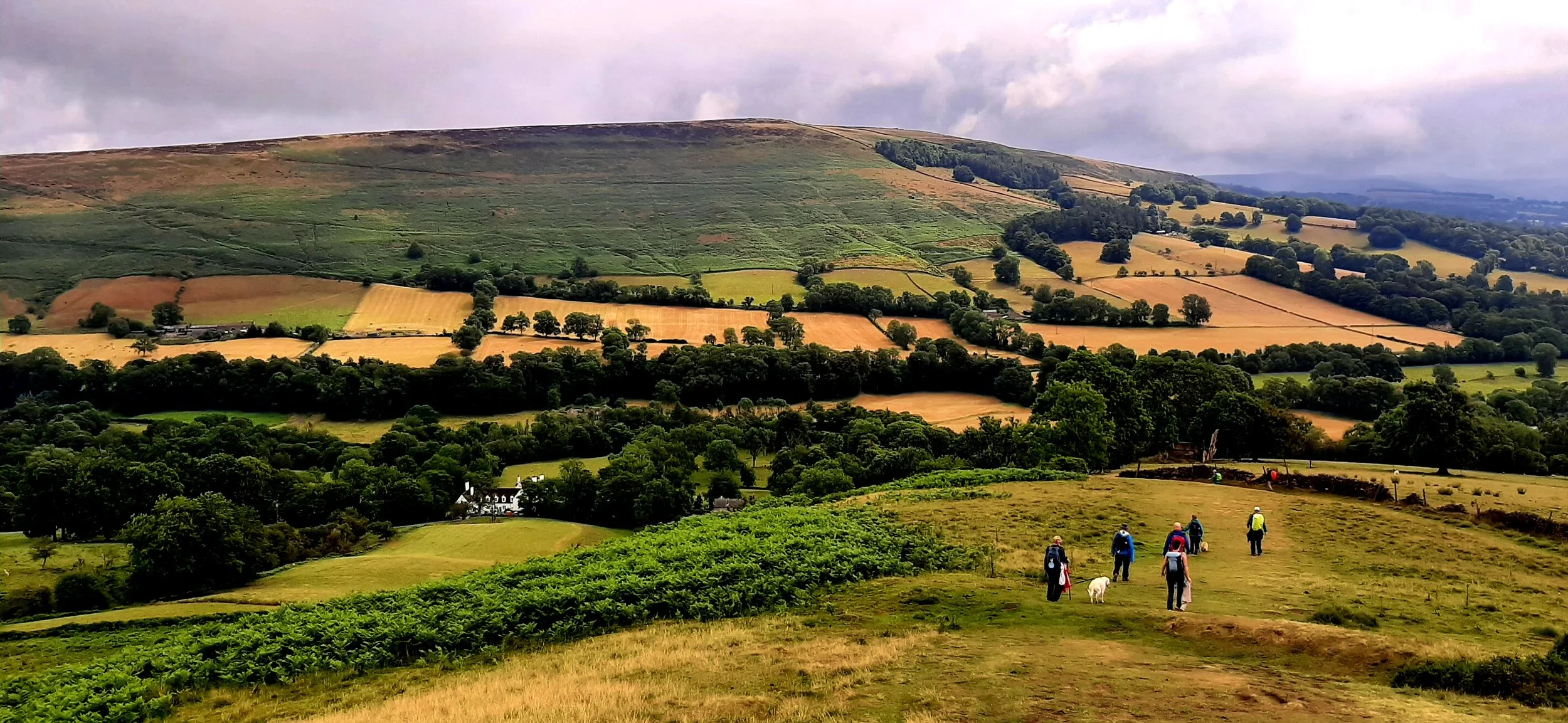
As we descended towards Hope village, the view of the valley and the hills ahead stretched out in front of us. The weather changed every 5 minutes and as quickly as you could put your waterproofs on, it stopped raining. At the bottom of the hill, there is a short section on road and then a country lane, before you take a right and head uphill once more.
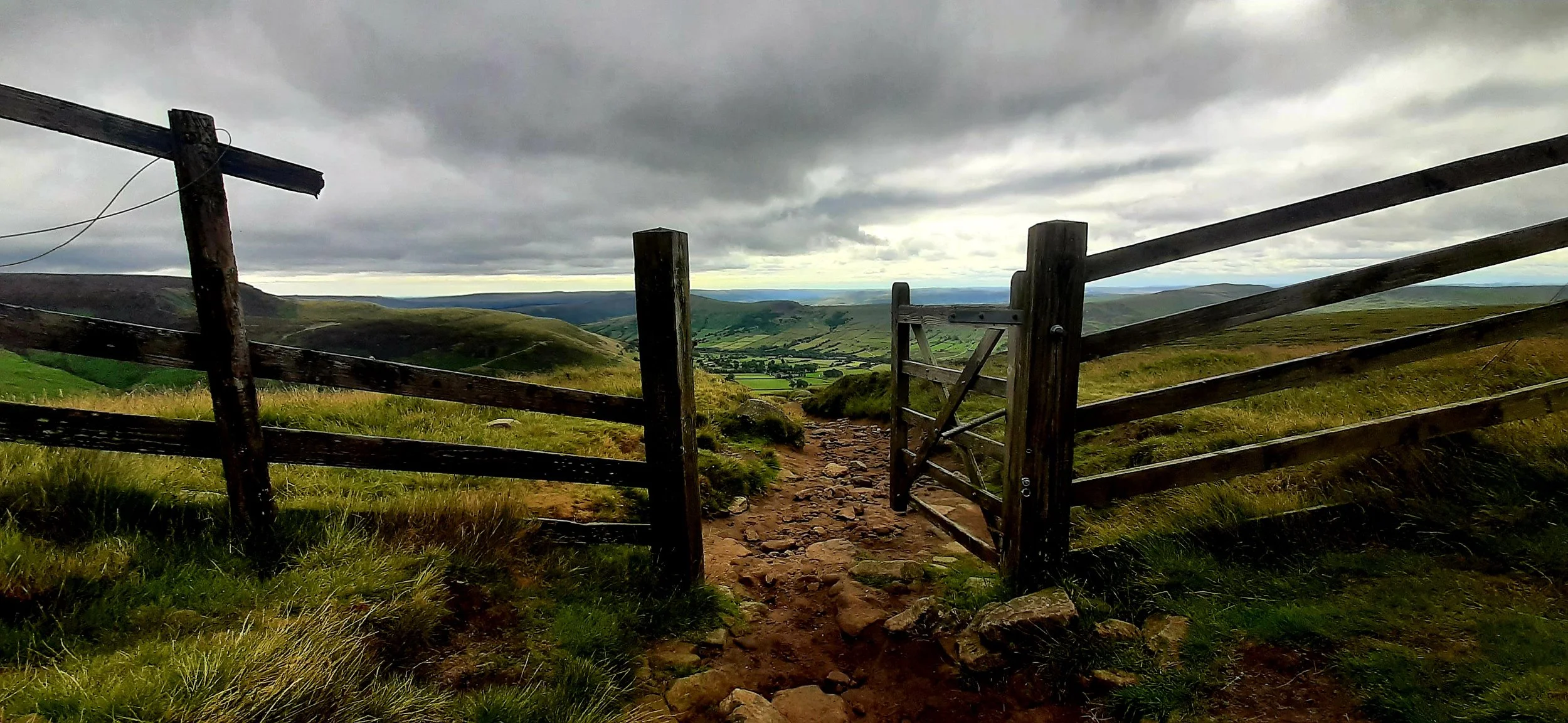
This was a tough climb, punctuated with lovely views, dry stone wall, an identify the purple poo competition (animal not human) and a daft collie dog with energy to burn. The vertical in this section is approximately 100m before you turn left before Wooler Knoll and descend at the side of the wood. This is a long slow descent with shelter giving the perfect opportunity for a picnic.